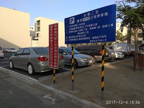
Parking nearby Guocai Shichang Parking
Coronavirus disease (COVID-19) Situation
confirmed cases
10241523
deaths
19005
Taiwan
Parking nearby Guocai Shichang Parking
Guocai Shichang Parking
2, Zhongxiao Road, 712, Tainan City, TW Taiwan
contacts phone
:
+886
Latitude:
23.0384971
, Longitude:
120.3100237
larger map & directions
read more
nearest Parking
3.066 km
台灣聯通停車場-台南永科停七場
永科東路3號, Yongkang District
Parking
read more
3.228 km
台灣聯通停車場-台南永科停三場
永科一路19號, Yongkang District
Parking
read more
3.27 km
Yong Ke San Lu Parking
台南市永康區
Parking
read more
3.327 km
台灣聯通停車場-台南永科停五場
永科三路77號, Yongkang District
Parking
read more
3.426 km
台灣聯通停車場-台南永科停六場
No. 199, Yongke Huan Road, Yongkang District
Parking
read more
3.455 km
台灣聯通台南永科停八停車場
Yongkang District
Parking
read more
3.505 km
台灣聯通停車場-台南永科停一場
永科環路397號, Yongkang District
Parking
read more
3.641 km
Yong Ke Huan Lu Parking
No. 309, Yongke Huan Road, Yongkang District
Parking
read more
7.357 km
台南科學園區停四停車場
Xinshi District
Parking
read more
7.567 km
Ting Ba Parking
Xinshi District
Parking
read more
8.442 km
Parking
No. 125, Chenggong Road, Yongkang District
Parking
read more
8.647 km
廣停2停車場
新市區豐華里
Parking
read more
8.708 km
山西宮一號停車場
Guanmiao District
Parking
read more
8.864 km
Tree Valley Park
Xinshi District
Parking
read more
9.591 km
台灣聯通停車場-台南東和場
No. 102, Donghe Road, East District
Parking
read more
11.412 km
Parking
東區大智里
Parking
read more
11.521 km
台南市立醫院崇德路汽機車停車場
East District
Parking
read more
13.147 km
Section 1, Jiankang Road Parking
崁前里, Section 1, Jiankang Road
Parking
read more
14.11 km
No. 57, Yonghua 2nd Street Parking
崁前里, No. 57, Yonghua 2nd Street
Parking
read more
14.277 km
新孝路公有停車場
South District
Parking
read more
14.695 km
鹽埕路臨時公有停車場
South District
Parking
read more
14.934 km
華平里機車路考場
Yuping 9th Street, Anping District
Parking
read more
15.276 km
民權路四段北側抽水站停車場
West Central District
Parking
read more
15.512 km
噗噗車棧安平店
No. 3, Tianxing Street, Anping District
Parking
read more
15.622 km
安億公有免費停車場
Anping District
Parking
read more
📑
all categories
Accounting
Administrative area level 1
Administrative area level 2
Airport
Amusement park
Aquarium
Art gallery
Atm
Bakery
Bank
Bar
Beauty salon
Bicycle store
Book store
Bowling alley
Bus station
Cafe
Campground
Car dealer
Car rental
Car repair
Car wash
Casino
Cemetery
Church
City hall
Clothing store
Colloquial area
Convenience store
Courthouse
Dentist
Department store
Doctor
Electrician
Electronics store
Embassy
Establishment
Finance
Fire station
Florist
Food
Funeral home
Furniture store
Gas station
General contractor
Grocery or supermarket
Gym
Hair care
Hardware store
Health
Hindu Temple
Home goods store
Hospital
Insurance agency
Jewelry store
Laundry
Lawyer
Library
Light rail station
Liquor store
Local government office
Locality
Locksmith
Lodging
Meal delivery
Meal takeaway
Mosque
Movie rental
Movie theater
Moving company
Museum
Natural feature
Neighborhood
Night club
Painter
Park
Parking
Pet store
Pharmacy
Physiotherapist
Place of worship
Plumber
Point of interest
Police
Post office
Premise
Real estate agency
Restaurant
Roofing contractor
Route
Rv park, camping
School
Shoe store
Shopping mall
Spa
Stadium
Storage
Store
Subpremise
Subway station
Supermarket
Synagogue
Taxi stand
Train station
Transit station
Travel agency
University
Veterinary care
Zoo
administrative area level 3
administrative area level 4
↑