Park nearby Saguer Trail
Taiwan
Park nearby Saguer Trail
Saguer Trail
369, Zuocang Street, 970, Hualien County, TW Taiwan
contacts phone
:
+886
Latitude:
24.0188617
, Longitude:
121.5771254
larger map & directions
read more
nearest Park
85 m
佐倉步道入口
號, No. 369, 佐倉街, 花蓮市
Park
read more
492 m
撒固兒瀑布 Saguer Waterfall
24°01'23. 121°34'41., No. 3"N, 台9丙線, 吉安鄉
Park
read more
3.2 km
Rongan Park
Ji’an Township
Park
read more
3.229 km
日光步道
號, No. 22, 明義六街38巷, 吉安鄉
Park
read more
3.348 km
Zhongliu Memorial Park
Hualien City
Park
read more
3.76 km
嘉新社區公園
新城鄉嘉新村
Park
read more
3.826 km
美妙藝 觀光花園
Section 3, Zhongyang Road, Ji’an Township
Park
read more
3.923 km
Hualianzhanqian Park
號, No. 35, Guoxing 1st Street, Hualien City
Park
read more
3.944 km
花蓮火車站前廣場
No. 35, Guoxing 1st Street, Hualien City
Park
read more
4.04 km
Zhongshan Park
Hualien City
Park
read more
4.189 km
奇萊聖王靈感顯像館全球總館
吉安鄉慶豐村
Park
read more
4.255 km
Steeple landmark
No. 6 Lane 947 Section 3 Zhongshan Rd Ji’an Township Hualien County Taiwan 973
Park
read more
4.584 km
Wanshou Park
No. 1, Guosheng 2nd Street, Hualien City
Park
read more
4.685 km
美爽爽渡假汽車旅館
No. 176, Section 3, Zhongshan Road, Ji’an Township
Park
read more
4.707 km
美崙山親子草坪,溜滑梯
號, No. 25-2, 尚志路, 花蓮市
Park
read more
4.838 km
Ji'an Park
No. 54, Cihui 4th Street, Ji’an Township
Park
read more
4.9 km
Changjinglu Parent-Child Park
花蓮市國安里
Park
read more
5.063 km
球崙運動公園
Taiwan, Province of China
Park
read more
5.154 km
Hualianzhongzheng Park
花蓮市民意里
Park
read more
5.163 km
Meilunshan Park
No. 25-2, Shangzhi Road, Hualien City
Park
read more
5.431 km
舊鐵道行人徒步區
Hualien City
Park
read more
5.642 km
白雲步道中
Lane 953, Section 3, Zhongshan Road, Ji’an Township
Park
read more
5.713 km
Xianbing Park
No. 12, Sanmin Street, Hualien City
Park
read more
5.753 km
Meilunxi Riverside Park
尚志橋, Hualien City
Park
read more
5.815 km
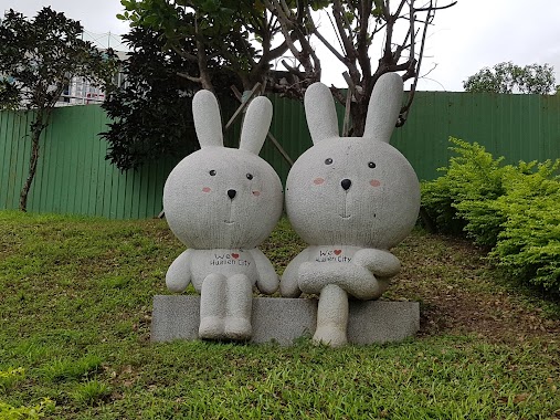
兔子公園
號, No. 13-19, 菁華街, 花蓮市
Park
read more
📑
all categories
Accounting
Administrative area level 1
Administrative area level 2
Airport
Amusement park
Aquarium
Art gallery
Atm
Bakery
Bank
Bar
Beauty salon
Bicycle store
Book store
Bowling alley
Bus station
Cafe
Campground
Car dealer
Car rental
Car repair
Car wash
Casino
Cemetery
Church
City hall
Clothing store
Colloquial area
Convenience store
Courthouse
Dentist
Department store
Doctor
Electrician
Electronics store
Embassy
Establishment
Finance
Fire station
Florist
Food
Funeral home
Furniture store
Gas station
General contractor
Grocery or supermarket
Gym
Hair care
Hardware store
Health
Hindu Temple
Home goods store
Hospital
Insurance agency
Jewelry store
Laundry
Lawyer
Library
Light rail station
Liquor store
Local government office
Locality
Locksmith
Lodging
Meal delivery
Meal takeaway
Mosque
Movie rental
Movie theater
Moving company
Museum
Natural feature
Neighborhood
Night club
Painter
Park
Parking
Pet store
Pharmacy
Physiotherapist
Place of worship
Plumber
Point of interest
Police
Post office
Premise
Real estate agency
Restaurant
Roofing contractor
Route
Rv park, camping
School
Shoe store
Shopping mall
Spa
Stadium
Storage
Store
Subpremise
Subway station
Supermarket
Synagogue
Taxi stand
Train station
Transit station
Travel agency
University
Veterinary care
Zoo
administrative area level 3
administrative area level 4
↑