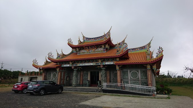
Place of worship nearby 土地公(新屋溪邊福德祠)
Taiwan
Place of worship nearby 土地公(新屋溪邊福德祠)
土地公(新屋溪邊福德祠)
328, Taiwan, 桃園市觀音區保生里
contacts phone
:
+886
Latitude:
25.0168631
, Longitude:
121.0464802
larger map & directions
read more
nearest Place of worship
480 m
土地公(福德祠)
觀音區保生里
Place of worship
read more
1.157 km
黃鼎坤家祠
觀音區保生里
Place of worship
read more
3.436 km
上元宮
觀音區三和里
Place of worship
read more
4.236 km
甘泉井
號, No. 2, 甘泉街, 觀音區
Place of worship
read more
4.826 km
謝姓祖塔
桃89鄉道, Xinwu District
Place of worship
read more
5.564 km
謝姓祠堂
桃92鄉道, Xinwu District
Place of worship
read more
10.558 km
土地公(樹林子福德宮)
觀音區草漯里
Place of worship
read more
16.13 km
土地公(大園晉德宮)
No. 98, Zhongshan North Road, Dayuan District
Place of worship
read more
17.1 km
廣天寺
青埔里, 70 青松街, Zhongli District
Place of worship
read more
18.22 km
土地公(中正東路三段)
Section 3, Zhongzheng East Road, Dayuan District
Place of worship
read more
18.28 km
桃園大園五福宮-開漳聖王
No. 112, Wufu Road, Dayuan District
Place of worship
read more
18.334 km
福德祠
2 號, No. 9, 下埔, 大園區
Place of worship
read more
19.28 km
Land God Temple
中壢區內定里
Place of worship
read more
19.789 km
陽光御墅-藜光第-南無阿彌陀佛
452 巷, 新生路, 蘆竹區
Place of worship
read more
20.239 km
福隆巖
Luzhu District
Place of worship
read more
21.225 km
沙崙二鄰福德宮
21, 大園區
Place of worship
read more
22.263 km
北天真武玄財殿
No. 46-3, 竹圍村19鄰, Dayuan District
Place of worship
read more
22.735 km
福德宮
60, Dayuan District
Place of worship
read more
23.326 km
海湖地藏王會
No. 7, 海山路二段海寧巷, Luzhu District
Place of worship
read more
23.328 km
海湖慈惠堂
海山路二段海寧巷6弄, Luzhu District
Place of worship
read more
24.637 km
基督教南崁靈糧堂
No. 99, Section 1, Nankan Road, Luzhu District
Place of worship
read more
25.381 km
蘆竹山腳里武聖宮
105 巷 號, No. 13, 山林路一段, 蘆竹區
Place of worship
read more
26.316 km
大古山福山宮
No. 228, 大古路, Luzhu District
Place of worship
read more
26.517 km
集仙宮
號, No. 21, 正康二街, 桃園區
Place of worship
read more
26.551 km
太和國寶廟
81-6, 蘆竹區
Place of worship
read more
📑
all categories
Accounting
Administrative area level 1
Administrative area level 2
Airport
Amusement park
Aquarium
Art gallery
Atm
Bakery
Bank
Bar
Beauty salon
Bicycle store
Book store
Bowling alley
Bus station
Cafe
Campground
Car dealer
Car rental
Car repair
Car wash
Casino
Cemetery
Church
City hall
Clothing store
Colloquial area
Convenience store
Courthouse
Dentist
Department store
Doctor
Electrician
Electronics store
Embassy
Establishment
Finance
Fire station
Florist
Food
Funeral home
Furniture store
Gas station
General contractor
Grocery or supermarket
Gym
Hair care
Hardware store
Health
Hindu Temple
Home goods store
Hospital
Insurance agency
Jewelry store
Laundry
Lawyer
Library
Light rail station
Liquor store
Local government office
Locality
Locksmith
Lodging
Meal delivery
Meal takeaway
Mosque
Movie rental
Movie theater
Moving company
Museum
Natural feature
Neighborhood
Night club
Painter
Park
Parking
Pet store
Pharmacy
Physiotherapist
Place of worship
Plumber
Point of interest
Police
Post office
Premise
Real estate agency
Restaurant
Roofing contractor
Route
Rv park, camping
School
Shoe store
Shopping mall
Spa
Stadium
Storage
Store
Subpremise
Subway station
Supermarket
Synagogue
Taxi stand
Train station
Transit station
Travel agency
University
Veterinary care
Zoo
administrative area level 3
administrative area level 4
↑